If you like to hike, you’re going to love Devils Tower Country.
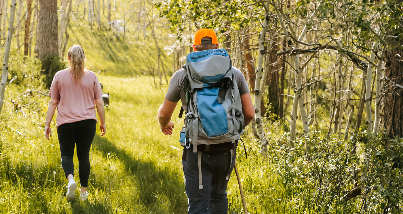
Wyoming’s Black Hills are a unique area worth exploring. The landscape and the plants that grow here are unique to our area. The region is home to mule deer, elk, a variety of birds and best known for its wild turkey and white-tail deer populations. Here are some great places to explore on foot while vacationing in Crook County, Wyoming.
Hiking at Devils Tower National Monument
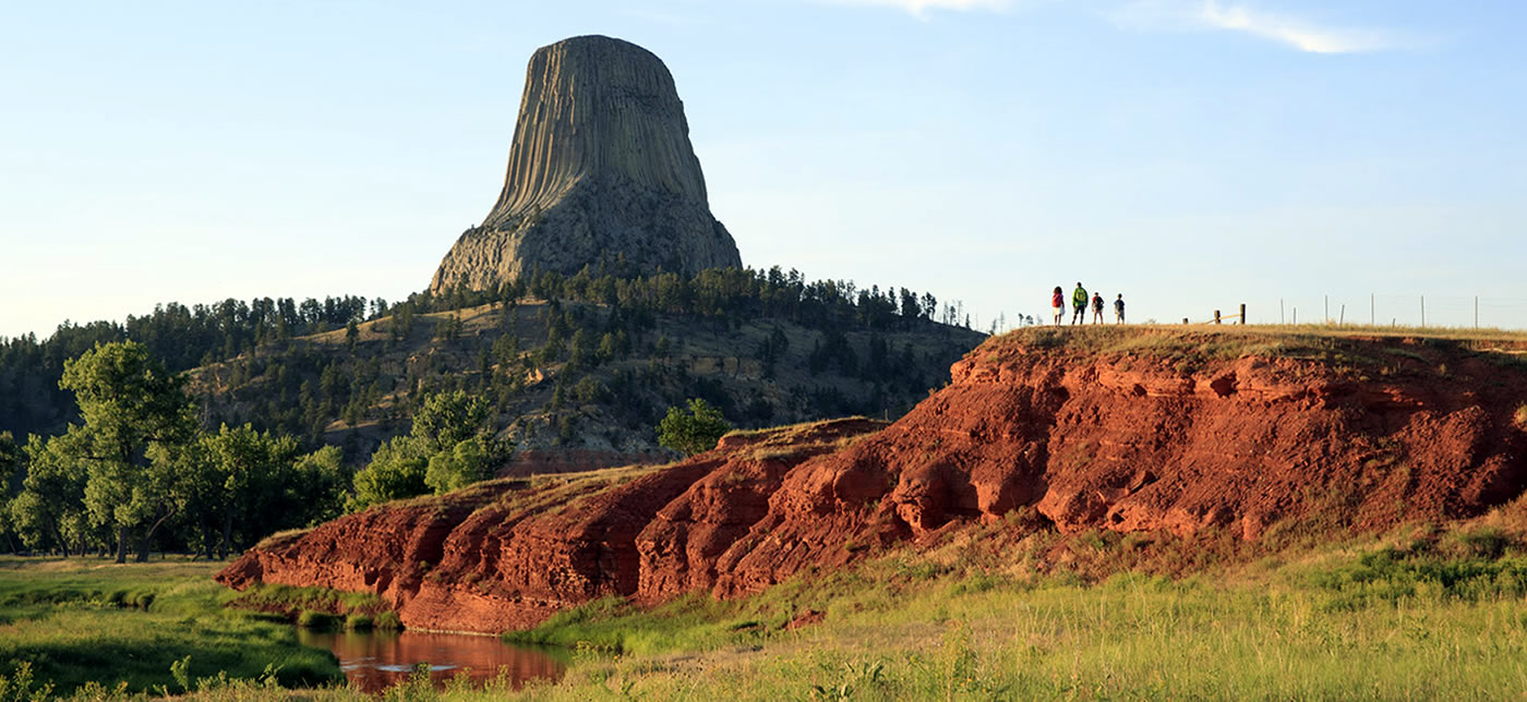
Hiking in the park is a great way to explore and enjoy Devils Tower National Monument.
Within Devils Tower National Monument, several miles of trails of varying difficulty levels are available. Visitors marvel at not only Devils Tower, but the flora, fauna and wildlife. Don’t miss the prairie dog town, a visitor favorite!
There are 4 main hiking trails in the park.
Tower Trail - The Tower Trail is the most popular hike in the park. This paved 1.3-mile trail starts in the parking area across from the Visitor Center. The trail goes through ponderosa pine forest and the boulder field. Interpretative signs explain some of the geology and ecology of Devils Tower National Monument. You will find benches along the path to enjoy views of the Tower. As you walk the Tower Trail, you may notice cloths or small bundles attached to the trees. These are Native American prayer cloths, and represent the spiritual connection many tribes have with the Tower. Please do not touch, disturb or remove these prayer cloths.
Red Beds Trail - This 2.8-mile loop of the Red Beds Trail will offer great views of the Tower and surrounding Belle Fourche River valley. You can access this trail from the Visitor Center parking area.
Joyner Ridge Trail - Along the north boundary of the park is a 1.5-mile loop trail that follows Joyner Ridge and dips down into the draw below the ridge. One of the more scenic but less utilized trails in the park, Joyner Ridge Trail provides beautiful views of the Tower, especially around sunset. Access the trailhead by taking the dirt road from the main park road as you head to or leave the Visitor Center. A 0.6-mile connector trail links Joyner Ridge with Red Beds.
South Side / Valley View Trails - Both of these trails start from the amphitheater and proceed through the prairie dog town 0.6 miles to link into the Red Beds Trail. A nice 1.5-mile circuit can be made from the amphitheater by using a section of Red Beds.
Hiking at Cook Lake National Recreation Area
The Cook Lake National Recreation Area features 2 great hiking trails. Make sure to visit the Cook Lake Recreation Area website for directions and area information.
Cook Lake Trail - This easy 1.5 mile loop trail with some stairs and a stepping-stone crossing of Beaver Creek. The trail circles the lake, and there are many opportunities to see various types of ducks and geese along with osprey, blue heron, and bald eagles.
Cliff Swallow Trail - A moderately difficult 3.7 mile loop trail. Cliff swallows nest in the limestone bluffs above Beaver Creek. Look for gourd-shaped mud nests in the rock out-croppings below the ridge. Other wildlife commonly seen along the trail include white-tailed deer, elk, and turkey. Along Beaver Creek, watch for blue herons, beaver, and water dippers. High above, turkey vultures are often seen riding the thermal drafts.
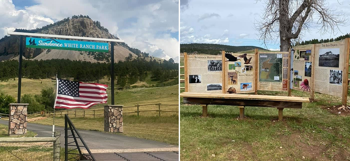
Sundance White Ranch Park
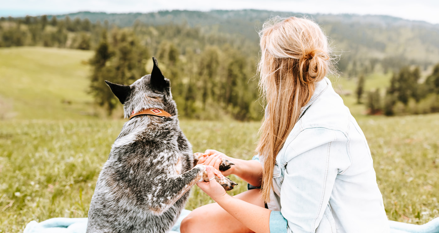
Sundance White Ranch Park is Sundance's newest adventure destination. This 100 plus acre recreation area is perfect for those who want to wander and explore. If you are into hiking, biking, running or sojourning, SWRP has two trails and three Open Spaces to explore: Serenity Trail is an Easy 0.4 mile stroll at the base of the Sundance Mountain. Lakota Trail is a 1.1 mile hike. The Sun Dance, Butch & Sundance and Outlaw Trail Open Spaces give you a chance to break your own trail and just roam through the space using your own route! The park is open dawn to dusk 7 days a week. Another great aspect of this park is that it is dog-friendly!
Sundance Trail System
The Sundance Trail System weaves through the network of densely-forested canyons and winding open ridges that form the Bearlodge Mountains. From some ridge tops you can see the Custer Expedition Route, Devils Tower, and the Twin Missouri Buttes. Elk, deer and turkey are some of the species represented by the abundant wildlife.
The secluded trails provide one of the most primitive recreational opportunities in the Black Hills. Parts of the trail system have existed since the 1800s. They were the routes to reliable water, the only access to some parts of the mountains, and a key part of the rich mining history of the Bearlodge Mountains.
Popular Hiking Trails within the Sundance Trail System
- Ogden Creek Trail, 4.8 miles (Moderate)
- Sand Pit Trail, 4.8 miles (Moderate)
- Upper Ogden Trail, 1.5 miles (Moderate)
- East Fork Quarry Trail, 1.2 miles (Moderate)
- Ogden Ridge Trail, 4.3 miles (Difficult)
- Reuter Springs Trail, 3.0 miles (Difficult)
- Richardson Fire Trail, 5.2 miles (Difficult)
- Sheepnose Trail, 5.8 miles (Difficult)
- Sheepnose Mountain Trail, 2.3 miles (Moderate)
- Tent Canyon Trail, 1.5 miles, Difficulty Rating (Moderate)
- Tent Canyon Ridge Trail, 4.1 miles (Difficult)
- West Fork Quarry Trail, 0.5 mile (Moderate)
- Whitetail Trail, 0.5 mile (Moderate)
- Edge Trail, 2.6 miles (Difficult)
- South Fork Trail, 2.8 miles (Difficult)
- Sundance Trail, 1.9 miles (Difficult)
Other Places to Hike
Warren Peak Lookout Tower
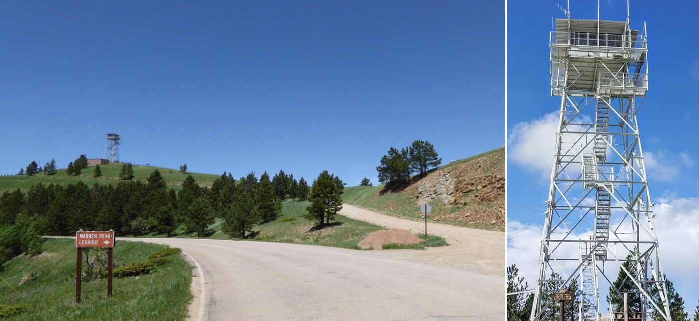
At top of Warren Peak, you'll find a lookout tower and interpretive sign about the tower's history. You can ascend the stairs of the tower almost to the top; however, access to the top floor is locked. As a high point, you'll have views of the surrounding Black Hills that stretch all the way to the Bighorn Mountains in the west on a clear day. Access the tower from a short dirt road off of Warren Peak Road look for signs for the fire tower lookout.
Bearlodge National Forest
The Bearlodge National Forest offers a wide variety of trails ranging in both difficulty and length. We encourage you to visit the USDA Forest Service’s website for recreational activities for more information and a complete list of trails. The Bearlodge Ranger District office in Sundance, located at 101 S. 21st Street, offers maps and additional information. The office can be reached via phone at 307-283-1361.
.